What BorderTrend Is
BorderTrend is an open-source intelligence (OSINT) aggregation platform focused on global border security: narcotics trafficking, human smuggling, cargo and customs enforcement, wildlife and weapons trafficking, money laundering, cybersecurity as it intersects with border and critical infrastructure, and the geopolitics that shape all of it. It pulls together public reporting from government agencies, international organizations, investigative outlets, and trade press into one continuously updated feed, organized so the right story reaches the right category instead of getting lost in a general news firehose.
It was built to solve a specific problem: border security intelligence is scattered across hundreds of separate sources with no common index. BorderTrend doesn't produce original investigative reporting — it aggregates, classifies, and organizes reporting that already exists, and links directly back to the original publisher for every story.
What We Cover
Every story on BorderTrend is automatically sorted into one of the following categories:
Coverage draws from 150+ monitored RSS feeds and a directory of 340+ verified official sources — customs authorities, financial intelligence units, port authorities, and enforcement agencies for essentially every country, plus international bodies (Europol, INTERPOL, UNODC, the World Customs Organization) and investigative outlets (OCCRP, InSight Crime, Bellingcat, the Global Initiative Against Transnational Organized Crime, among others). Every source in that directory has a verified, currently-working official URL — none are invented or guessed.
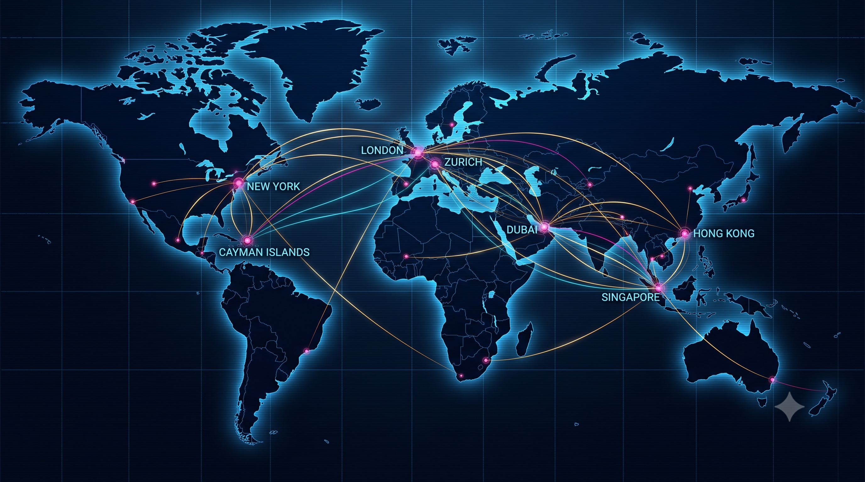

Conceptual illustrations, AI-generated — not screenshots of real tools, cases, or data.
Interactive & Live Intelligence Tools
Beyond the article feed, BorderTrend includes several purpose-built tools:
A Pro tier ($19/mo) unlocks in-depth analyst briefs for every port, airport, and crossing on the Port Map.
How Classification Works
Most articles are classified automatically: a keyword-matching system reads each headline and summary and assigns it to the category it best fits, checked in a fixed priority order (for example, a story mentioning both "cargo" and "airport" routes to Airport, not the general Cargo bucket). A small number of trusted single-topic sources — a wildlife-crime NGO's feed, for instance — keep a fixed category rather than being re-classified per article.
This system is tuned and adjusted over time as miscategorized stories are found, but it is automated, not manually reviewed article-by-article. Occasional misclassification happens, especially on stories that genuinely span more than one category. If something looks off, the original source link is always right there in the article.
Update Frequency & Freshness
The article feed refreshes continuously through the day, with a 6-hour cached fallback so the site stays populated even if a live fetch cycle has a temporary issue. Live traffic trackers (maritime, aviation, orbital) reflect real-time third-party data at the moment you load the page. Satellite Earth imagery is near-real-time — typically the most recent full day's pass, not live video (see limitations below).
Limitations — What This Isn't
Not an operational intelligence system. BorderTrend is a professional reference and awareness tool. It is not affiliated with any government, law enforcement agency, or political organization, and shouldn't be relied on for operational decision-making. For that, consult the relevant official agency directly.
We don't independently verify source reporting. Stories are aggregated from public sources and linked to their original publisher; BorderTrend doesn't fact-check or investigate the underlying claims itself.
Live traffic tools have real gaps. Maritime and aviation tracking only show vessels/aircraft broadcasting a transponder signal (AIS/ADS-B). Clandestine, non-transponder, or low-altitude traffic — exactly the kind involved in a lot of smuggling activity — will not appear.
Satellite tracking shows public objects only. Orbital positions come from publicly cataloged NORAD data; classified reconnaissance and military satellites aren't included because that data isn't public. Earth imagery updates roughly daily and can be obscured by cloud cover — it is not continuous live video of any location. No such capability exists publicly, for anyone.
Automated classification isn't perfect. See "How Classification Works" above.
Editorial Standards
BorderTrend links directly to original source material and does not alter, republish in full, or claim authorship of third-party reporting. We don't take editorial positions on political questions and don't endorse any government, party, or advocacy position. Our aim is strictly informational: to make border security intelligence easier to find, organize, and act on.